Surveys

Topographical surveys are regarded as the benchmark of land surveying. They are often the most common surveys commissioned and used widely by architects, planners, and engineers at the design and planning stages of a project.

Read More

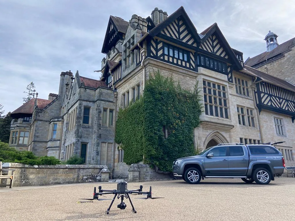
USV - Unmanned Survey Vehicles

Here at Castle Keep Surveys, Drones have been our favourite technology advancement as they allow us to really push the boundaries of surveying and capture data faster and safer than ever before.

Primarily drones were used for video and images however our survey grade Drones offer so much more.

Read More

GeoSpatial

Based on sound traditional survey methods from over 30 years in the industry we now utilise the very latest 3D technology to capture and process the survey data. The team at Castle Keep Surveys offers a fast and accurate 3D laser scanning service to clients both local and national.

Read More

Site Engineering

When your project needs a site engineer on an ad-hoc basis, then the team at Castle Keep Surveys can help.
Fast and accurate setting out, with a rapid response time, is what we pride ourselves on.

Read More

Utilities

Understanding what lies underground and where it is can be an invaluable tool for contractors and consultants. An Underground Utility Survey can accurately identify what utilities are buried underground and confirm depths, density, type, and dimensions of all detectable buried utilities.

Read More