


Underground Surveying and Mapping Utility
Understanding what lies underground and the location of utilities can be an invaluable tool for contractors and consultants. An Underground Utility Survey can accurately identify what services are buried underground and confirm depths, density, type, and dimensions of all detectable buried utilities.
What Is Underground Utility Surveying?
Underground Utility Surveying and Mapping surveys are performed over a defined survey area, capturing information such as electrical and communication cable routes, gas, water, fuel & drainage pipe routes along with manhole and inspection chamber location and internal details such as chamber and pipe materials and sizes, service type, duct configurations, invert levels and depths.
Completion of this type of survey is a legal requirement under the Safety at Work Act 1974 for any development project that involves penetrating the ground at or below the surface level.
Using the latest GPR technologies, Castle Keep Surveys can complete your Underground Utility Survey quickly and efficiently offering the highest level of detail and accuracy. Completing the survey at the start of a project could help you to avoid costly and disruptive works later. Services can include designating (with paint), exposing, and / or mapping of these facilities.
Main Methods of Detection
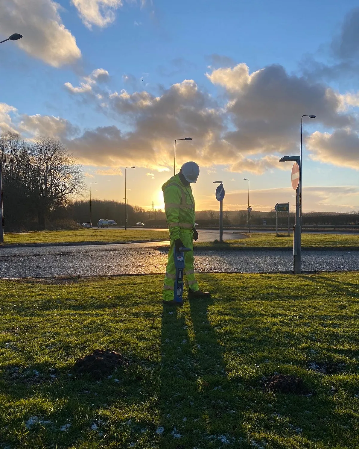
Electromagnetic - these hand held devices are designed to locate metallic objects and when coupled with a generator and a variety of process they form a very powerful tool in the utility surveys tool kit.
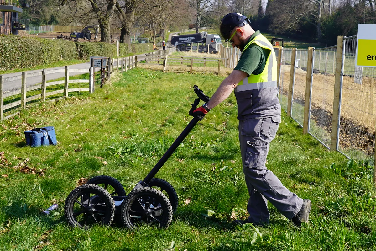
GPR (Ground Penetrating Radar) – GPR is a geophysical survey method that uses pulses of electromagnetic radiation to image the subsurface. It provides a non-intrusive and non-destructive method of surveying the sub-surface.
Need To Know More About Our Utility Surveys? Then CONTACT US today

Carrying Out Utility Surveys
We have the capability to carry out utility surveys in accordance with BSi PAS-128 which is the current standard for underground utility detection, verification and location. The equipment that the team utilise provide real time information. The trained surveyors will review the information onsite so that you receive accurate and easy to understand results as soon as possible.
Findings of the utility survey are loaded into our survey software n4ce and analysed by our support team. Files can be outputted in various formats including industry-standard DWG AutoCAD files and we produce PDF drawings by default for ease.
Castle Keep Surveys offer these services to a wide range of markets across the civil, environmental, geotechnical, design, utilities, infrastructure and facilities management sectors across the UK.
We can combine our utility mapping services with topographical and measured building surveys to give you a comprehensive site analysis; ideal for identifying and connecting to services, mitigating cable strikes during ground works or submitting applications such as planning or build-over agreements.