
From Tradition comes Technology
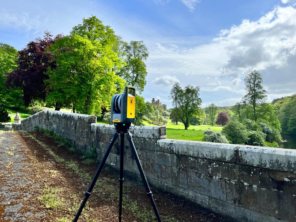
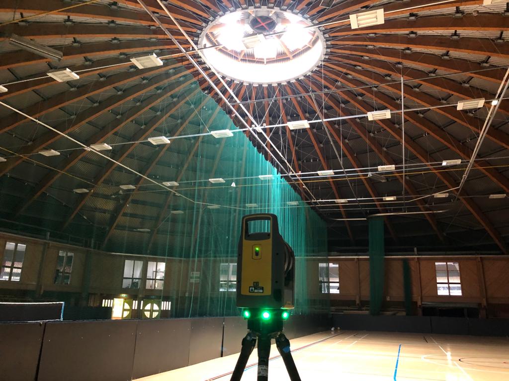
Based on sound traditional survey methods from over 30 years in the industry we now utilise the very latest 3D technology to capture and process the survey data. The team at Castle Keep Surveys offers a fast and accurate 3D laser scanning service to clients both local and national. We offer a host of deliverables, ranging from a raw point clouds through to a Recap model.
What Is 3D Laser Scanning?
3D Laser scanning is the fast acquisition of measured 3D coordinated (XYZ) point data by utilising a 3D Laser Scanner to digitally scan an object to create a point cloud.
What Are Its Uses?
The main uses of 3D laser scanning tend to be construction- and engineering-based applications. However, it can also be used in a wide variety of sectors, including:
- BIM - Building Information Modelling
- Surface Deformation – Buildings/ Structures
- Environment – Erosion/ Movement
- Pipework and Process
- Architectural Surveys
We can be on and off site faster, collect more data and be more accurate than ever before. Using a range of Laser Scanners with different specifications, we can tailor our methodology to each project, ensuring the correct level detail is captured whilst never compromising on quality.
By post-processing point cloud data we can produce a variety of deliverables to our clients. These can either be produced from the point cloud such as 3D render models and ortho-rectified images, or the point cloud data as a product itself.
Get so much more from your survey with a 3d Scan, CONTACT US today
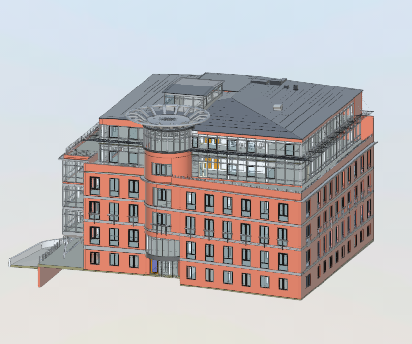
Revit Model
3D laser scanning and Revit models go hand in hand, and therefore we offer a full Revit modelling service to any level of detail specification.
Using laser scanning, we can produce accurate computer-aided design (CAD) drawings, with all site measurements displayed and fully scaled 3D drawings to give you a true oversight of the site features. For difficult to reach areas, we can make use of drone technology to complete laser scanning and get accurate detail of an area.
Our Point Cloud formats include (but are not limited to):
- RCP (Recap Project .rcp)
- XYZ (Ascii .xyz/Binary .xyb)
- E57 (.e57)
- PTS (.pts)
- PTX (.ptx)