


Pushing The Boundaries Of Surveying And Data Capture
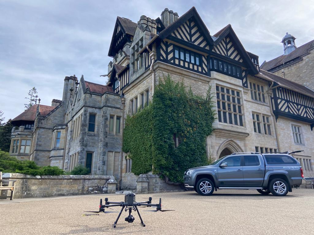
Here at Castle Keep Surveys, drones have been our favourite technology advancement as they allow us to really push the boundaries of surveying and capture data faster and safer than ever before.
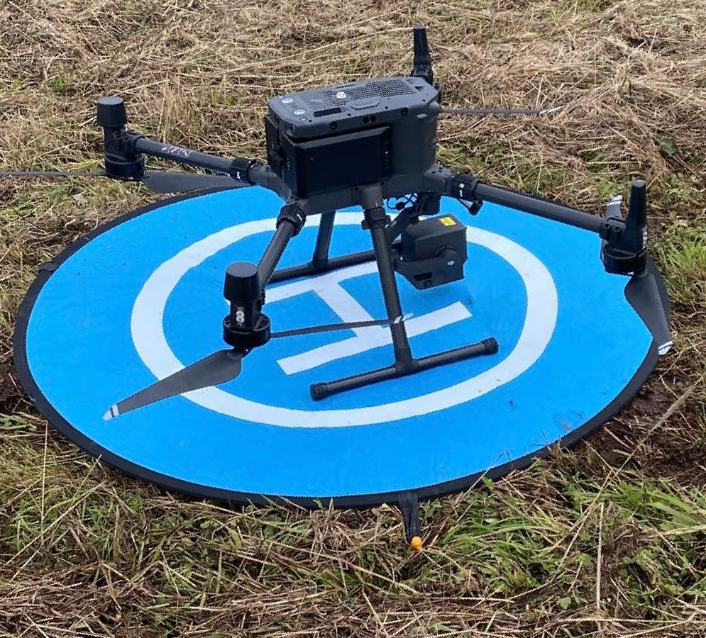
Why Use Drone Surveying?
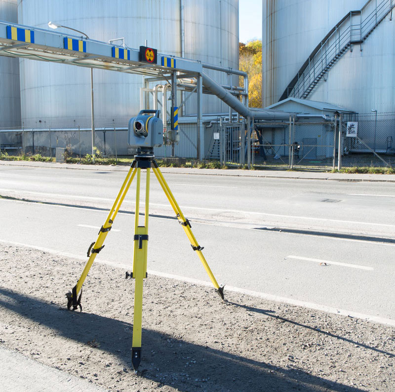
Drone Surveys allow us to acquire detailed data and images from areas which would have been either too expensive, time-consuming or risky to access. As technology advances, drone surveys are becoming more and more popular as they can perform surveys in a faster, safer and more efficient manner than traditional methods. UAV platforms can provide simple visual checks or provide access to areas too difficult to send staff. The service can dramatically reduce the ‘working at height’ risk.
What Are Drones Used For?
Primarily drones were used for video and images however our survey-grade drones offer so much more:
- Surface Mapping
- Quarries
- Stockpiles
- Inspection
- Unsafe Buildings
- Hi Rise
Learn More About Our Drone surveys, CONTACT US today

Drone Photography
The drone pilots follow the CAA Drone code for drone photography, so that all flights are safe and legal. Aerial photography drones are flown within visual sight of the operator and without reaching the maximum height of 400ft (120m). Before a flight takes place, the area is assessed beforehand and the drone is kept away from airfields and aircraft. Drones must not be flown within 50m of people, vehicles and buildings. If a drone flight is not viable, alternative solutions can be offered. The Data Protection Act also covers the usage of UAVs and thus privacy laws are applied to their use.
The photographs taken by drones can be used for promotional work, initial surveys and inspections.