


The Benchmark Of Land Surveying
Topographical surveys are regarded as the benchmark of land surveying. These surveys are detailed accurate 2d & 3d plan drawings identifying natural and manmade features with levels, usually within a specified area. Shown as three-dimensional points, all features including the property, land features and physical boundary details are presented on a scaled survey drawing. “Topos” are often the most common type of survey commissioned and used widely by architects, planners, and engineers at the design and planning stages of a project.
Why Do You Need A Topographical Survey?
Topographical surveys record a range of information on site and are referenced back to a national grid co-ordinate system. This allows the surveyed information to be tied in with other mapping products which are also aligned to a national grid system. In the United Kingdom this is dealt with by the Ordnance Survey.
Our topographical surveys are prepared in two stages:
- Collection of data
- Preparing the drawing
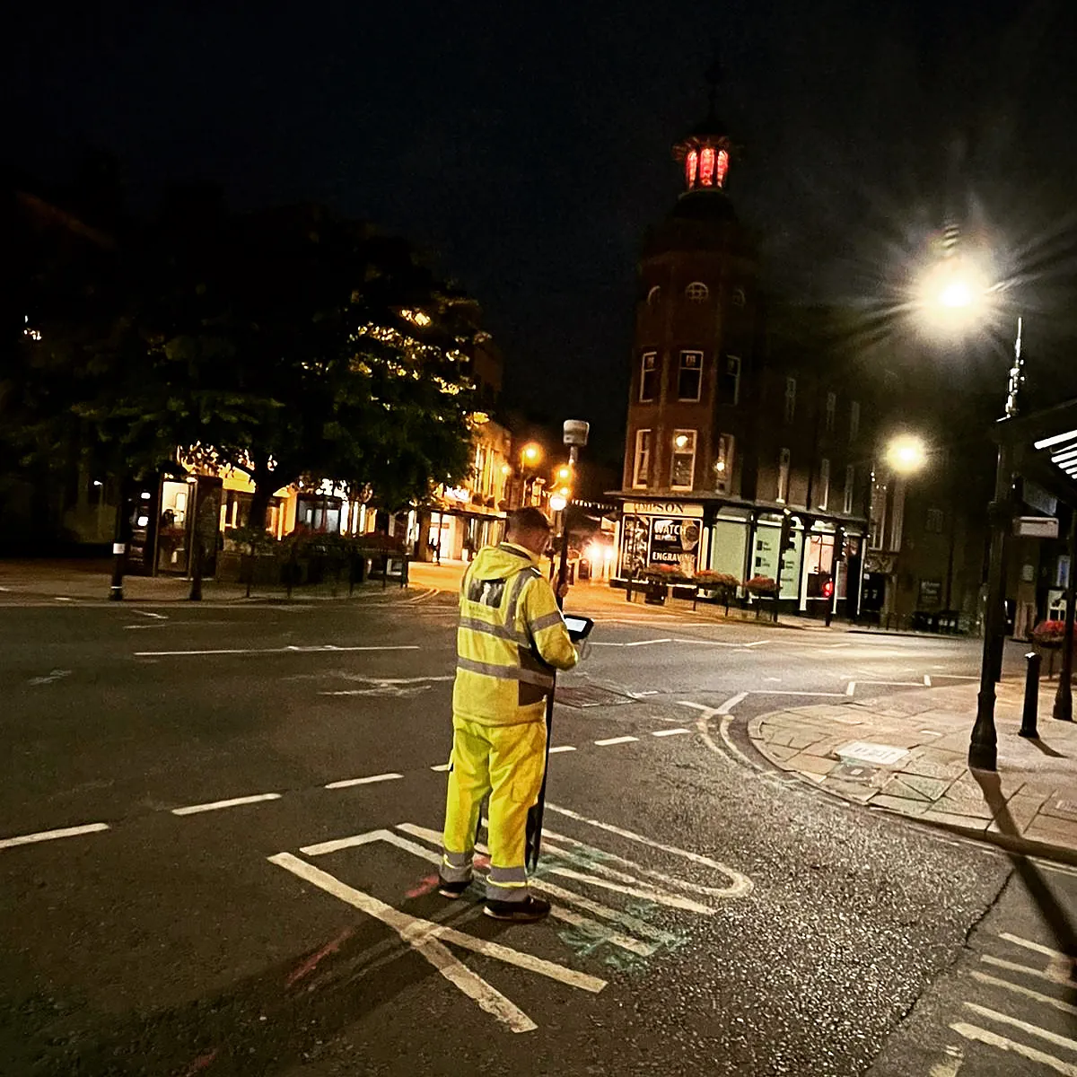
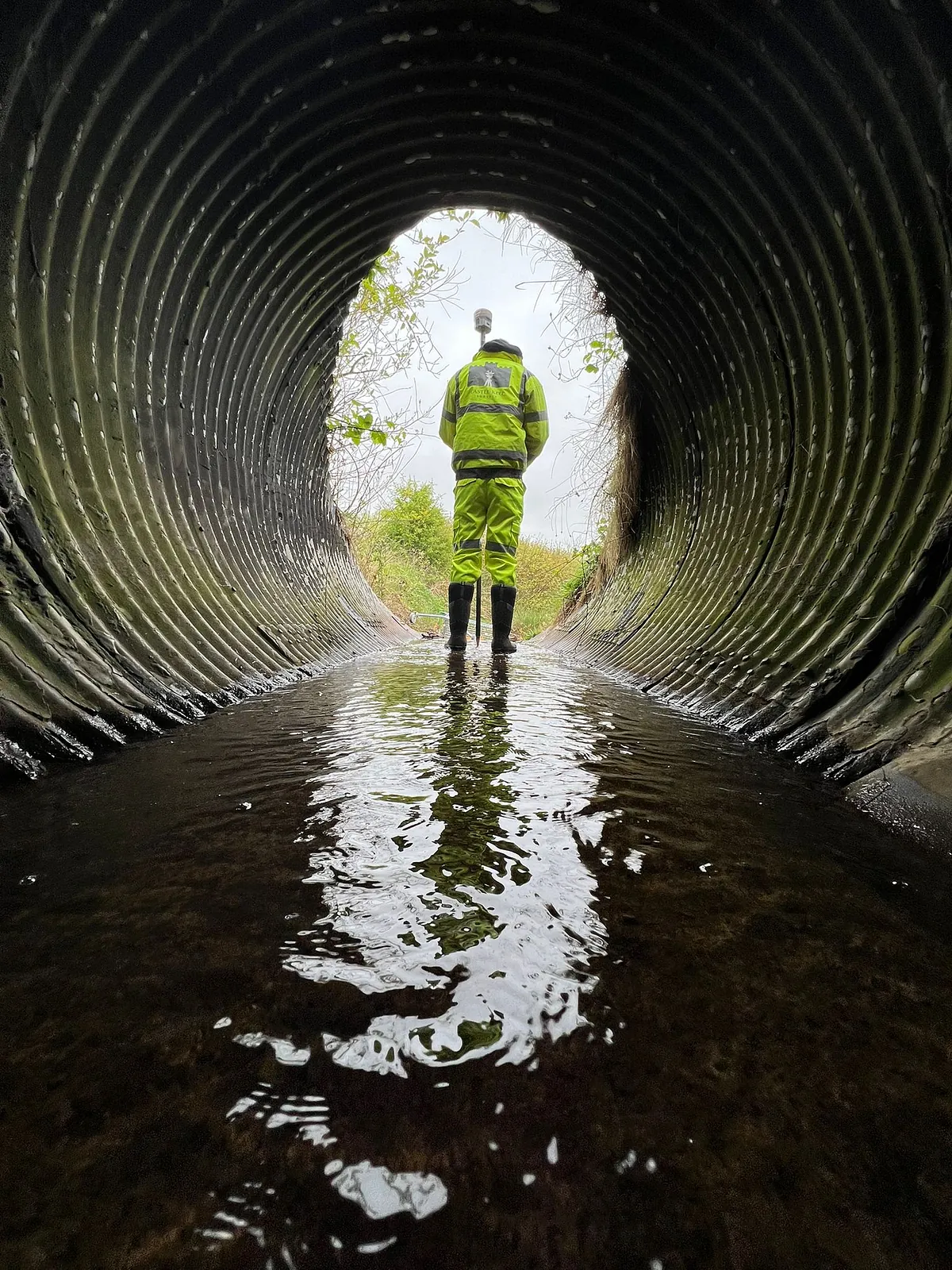
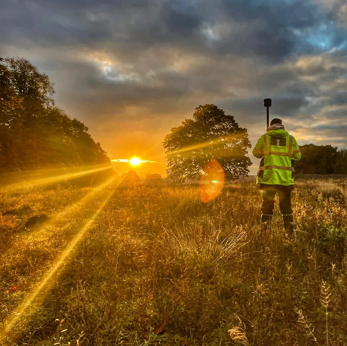
Collection Of Data
Using a variety of techniques including but not limited to Drones, 3D Laser Scanning, GPS and Total Stations our trained surveyors will attend site and accurately survey the features of the land including, but not limited to:
Topographical Surveys
-
Building Footprints
-
Roads
-
Footpaths
-
All Visible Service Features
-
Manhole Covers
-
Gas Valves
-
BT Chambers
-
Trees
-
Hedges
-
Fences
-
Undulation
-
Water Courses
-
Preparing the Drawing
The amount of detail produced in the survey will depend on the client’s requirements. A land survey will often include existing buildings and structures, boundary details, ground surfaces, tree positions and drainage details.
Additional details can be added to the survey, and the results will often be delivered as CAD files and scaled down to paper plans. Survey drawings are supplied in various 2D and 3D CAD formats and paper copies can be provided.
CONTACT US today, To Find Out More About Our Topographical Surveys
What Happens Next
After the data is collected, it is loaded into our survey software and the data analysed. Annotation and local information are then added to the project before we produce a full and accurate 3D drawing of the proposed area. Files can be outputted in various formats including industry-standard DWG AutoCAD files and we produce PDF drawings by default for ease.
A high-quality initial survey and a tightly adjusted control framework are essential for a smooth design and implementation process, no matter the size of the project. By engaging the services of Castle Keep Surveys, you can be assured of a first class professional yet personal service.