
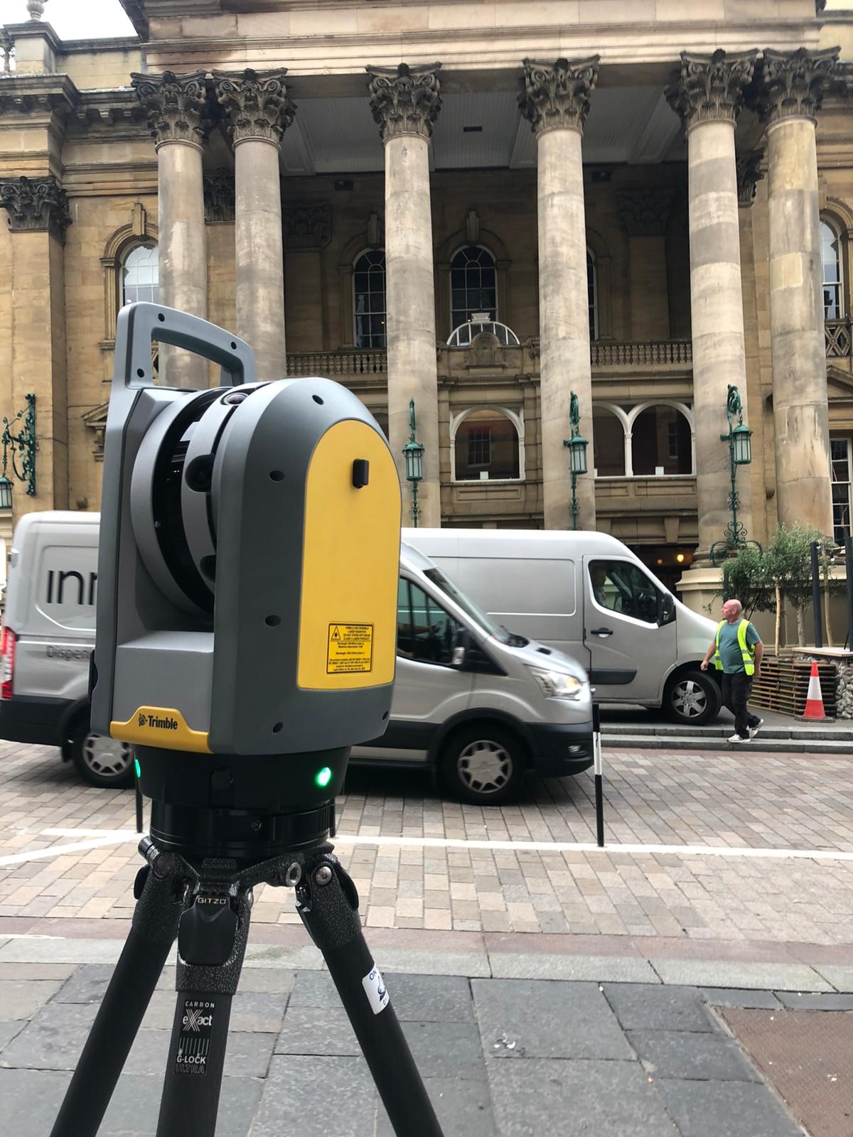
3D Laser Scanning Technology for a Fast and Precise Survey in Liverpool
City and seaport forming the nucleus of the metropolitan county of Merseyside in the historic county of Lancashire. The city is booming with development and has many ground breaking new projects on the horizon
What Is 3D Laser Scanning?
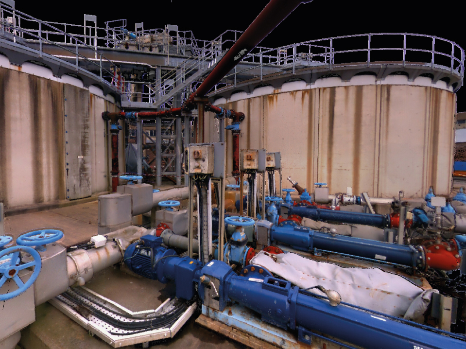
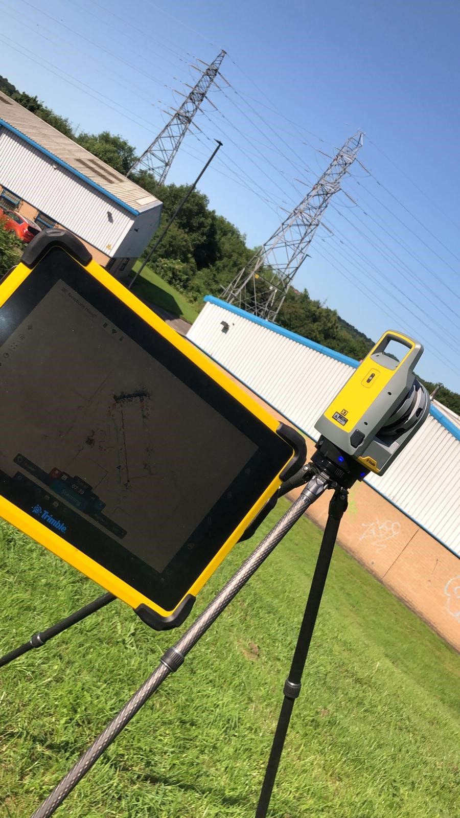
3D laser scanning is the fast acquisition of measured 3D-coordinated (XYZ) point data. We collect this using a 3D laser scanner on an object to create a point cloud.
What Are Its Uses?
The main uses of 3D laser scanning tend to be construction- and engineering-based applications. However, it can also be used in a wide variety of sectors, including:
- BIM - Building Information Modelling
- Surface Deformation – Buildings/ Structures
- Environment – Erosion/ Movement
- Pipework and Process
- Architectural Surveys
FOR FURTHER INFORMATION ON THE 3D LASER SCANNING SERVICES WE OFFER IN LIverpool, CALL US today.
Revit Model
3D laser scanning and Revit models go hand in hand, and this is why we offer a full Revit modelling service to any level of detail specification.
Using laser scanning, we can produce accurate computer-aided design (CAD) drawings, with all site measurements displayed and fully scaled 3D drawings to give you a true oversight of the site features. For difficult to reach areas, we can make use of drone technology to complete laser scanning and get accurate detail of an area.
Our Point Cloud formats include (but are not limited to):
- RCP (Recap Project .rcp)
- XYZ (Ascii .xyz/Binary .xyb)
- E57 (.e57)
- PTS (.pts)
- PTX (.ptx)